|
| *****SWAAG_ID***** | 775 |
| Date Entered | 05/02/2014 |
| Updated on | 05/02/2014 |
| Recorded by | Tim Laurie |
| Category | Settlement |
| Record Type | Archaeology |
| SWAAG Site | Cogden Hall |
| Site Access | Private |
| Record Date | 05/02/2014 |
| Location | Stollerston Stile. Walled pastures on both Grinton and Ellerton Abbey sides of the Parish boundary wall at Stollerston Stile. |
| Civil Parish | Grinton |
| Brit. National Grid | SE 059 977 |
| Altitude | 200m |
| Geology | Morainic drift over quarried flagstones. |
| Record Name | Stone walled settlements and associated rectangular field system at Stollerston Stile. |
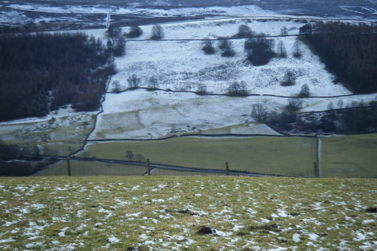
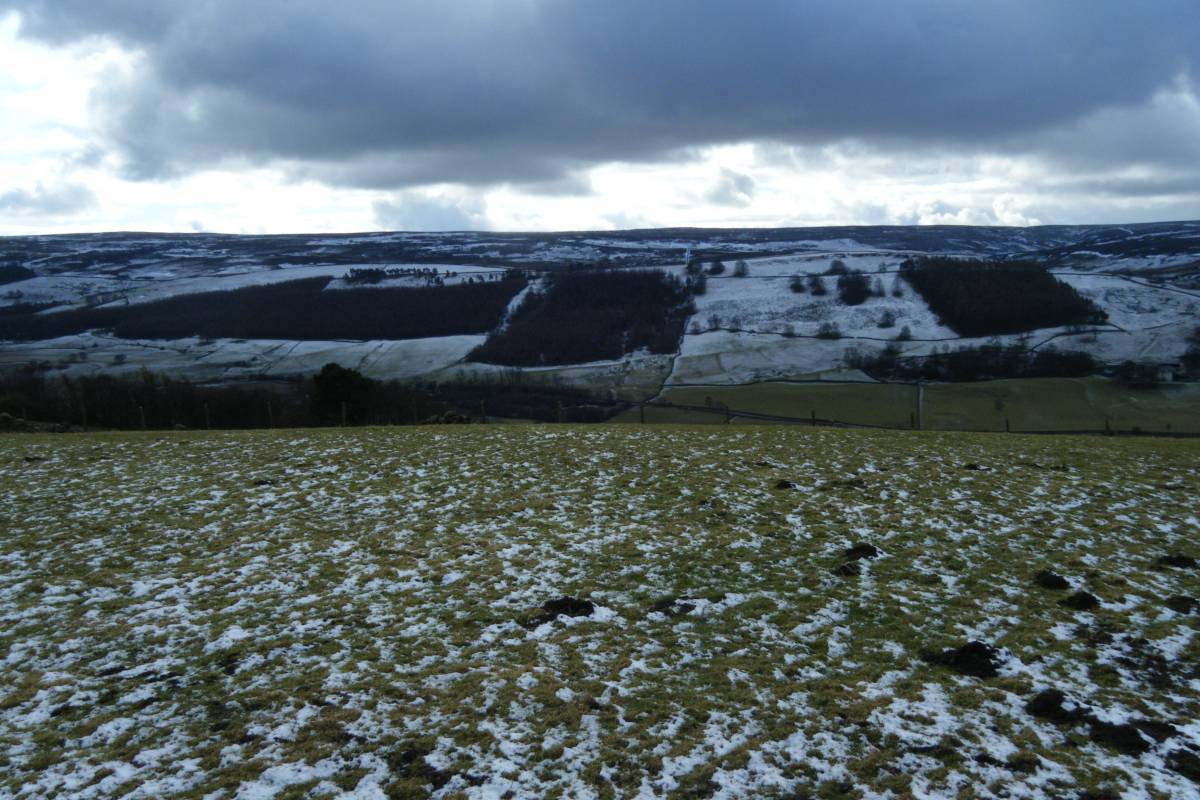
| Record Description | Settlements and associated field system in the walled pastures at 200m AOD on both Grinton and Ellerton Abbey sides of the Parish Boundary centred at Stollerston Stile photographed under light snow conditions. The settlement cores include visible round house bases.
Unsurveyed. |
| Dimensions | See photos |
| Additional Notes | The settlement enclosures and stone embanked field boundaries within the present day pastures on the Grinton side of the Parish Boundary are reasonably well preserved. Settlement enclosures and field banks on the Ellerton side of the Parish Boundary have been slighted by stone quarrying activity but nevertheless are reasonably well preserved. |
| Image 1 ID | 5037 Click image to enlarge |
| Image 1 Description | Settlement cores and associated field system centred at Stollerston Stile. Photographed under powder snow conditions from Reels Head. | 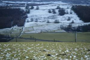 |
| Image 2 ID | 5038 Click image to enlarge |
| Image 2 Description | |  |